Second-Order Thinking Meets System of Systems Engineering
How GeoAI and geospatial digital twins help the grid think through its own decisions.

When we talk about grid resilience, we often focus on immediate consequences: a repair completed, a risk mitigated, a threat detected. This is first-order thinking—addressing the obvious, direct result of an action without considering what follows.
But in complex infrastructure networks, first-order thinking isn’t enough. The real challenge lies in understanding the chain reaction: how a single decision propagates through systems, alters dependencies, and changes conditions for everything downstream.
This is second-order thinking: anticipating not just “what happens next,” but “what happens because of what happens next.”
The Grid as a System of Systems
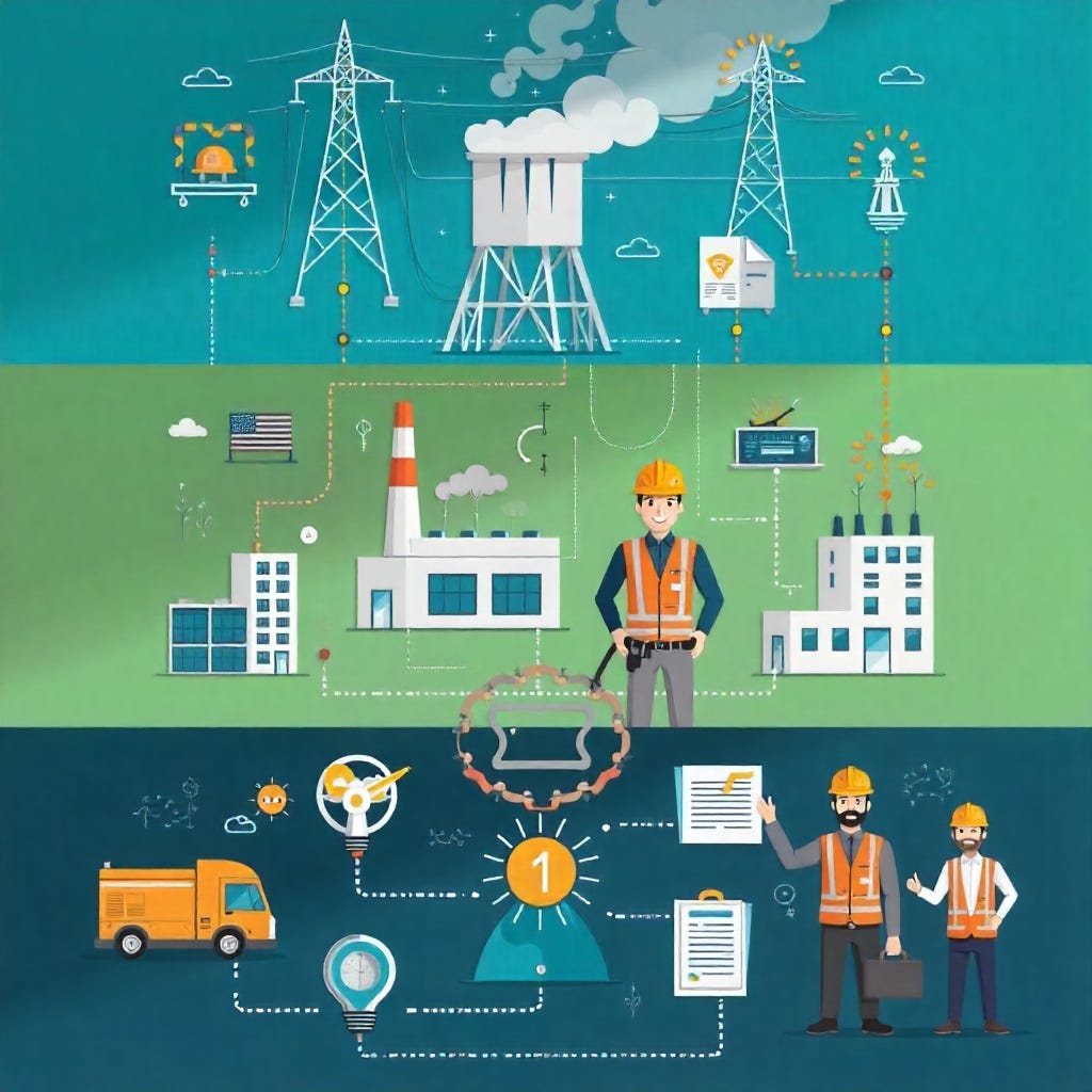
An electric grid is the ultimate system of systems. Transmission, distribution, generation systems, and vegetation management, operations management, and emergency response systems. Each has its own sensors, its own standards, and its own priorities, yet they’re deeply interdependent.
When one subsystem shifts, a transmission line rerouted to avoid wildfire risk, it ripples through dozens of others. Power flows change. Vegetation workloads shift. Maintenance budgets tighten in one region, freeing resources in another.
Traditionally, utilities handle these interactions through linear analysis, studying each subsystem in isolation and connecting the dots later. But that approach breaks down under today’s volatility: extreme weather, renewable intermittency, and tightening regulatory windows. What’s needed is an analytical framework that can simulate how cascading decisions behave in context.
Mapping Decision Trees onto Complex Systems
In decision theory, a logic tree visualizes cause and effect chains. Each branch represents a possible action and its consequence. It is a structured way of reasoning through uncertainty.
Now, apply that logic tree to an entire grid. Each branch becomes a real-world variable: a weather forecast, an asset condition score, a vegetation density metric, a soil saturation index. Each node represents a decision with spatial coordinates:
If vegetation density exceeds threshold X near conductor Y, increase LiDAR scan frequency.
If scan frequency increases, the maintenance backlog grows.
If the backlog grows, the outage probability rises before storm season.
These aren’t abstractions—they’re operational decisions happening across the network simultaneously.
Where GeoAI and Digital Twins Enter
A geospatial digital twin, a living model of the grid and its environment, allows utilities to run these cascading decision trees at scale.
Every time a satellite image, LiDAR scan, or IoT sensor updates, the twin recalculates downstream consequences: Which assets move up in risk priority? How do vegetation patterns influence power flow and outage likelihood? What second-order impacts might a deferred maintenance decision have on reliability or wildfire exposure six months later?
GeoAI acts as the reasoning engine, learning relationships between environmental signals, asset performance, and operational decisions. Over time, the system moves beyond modeling what is to anticipating what will be if we act this way versus that way.
From Situational Awareness to Situational Foresight
Traditional grid analytics focus on the present: monitoring conditions, spotting anomalies, triggering alerts. Second-order GeoAI pushes into situational foresight.
It surfaces tradeoffs before decisions are made, quantifies unintended consequences, and helps operators weigh interventions not just by immediate outcome but by systemic ripple effect.
Consider a dashboard that doesn’t just show vegetation encroachments but models how delaying trimming in one area could increase outage probability, raise fire risk, and divert storm response crews elsewhere—each branch scored by impact, cost, and confidence level.
That’s not asset management, that’s decision management for complex adaptive systems.
Toward a Thinking Grid
Second-order thinking asks us to question the instinct that fast decisions are always better decisions. System of systems engineering provides the structure to model complexity. GeoAI provides the computational lens to do it in real time.
Together, they point toward something transformative: a grid that doesn’t just react to conditions but thinks through them, understanding the cascading consequences of its own actions before they unfold. This creates more than a smarter grid. It works to create a proactive, thinking grid.