Precision in Uncertainty: How GeoAI is Reshaping Risk Modeling
Harnessing Geospatial Intelligence, IoT, and Advanced Analytics to Quantify Asset Risk and Enhance Resilience in a Changing Climate

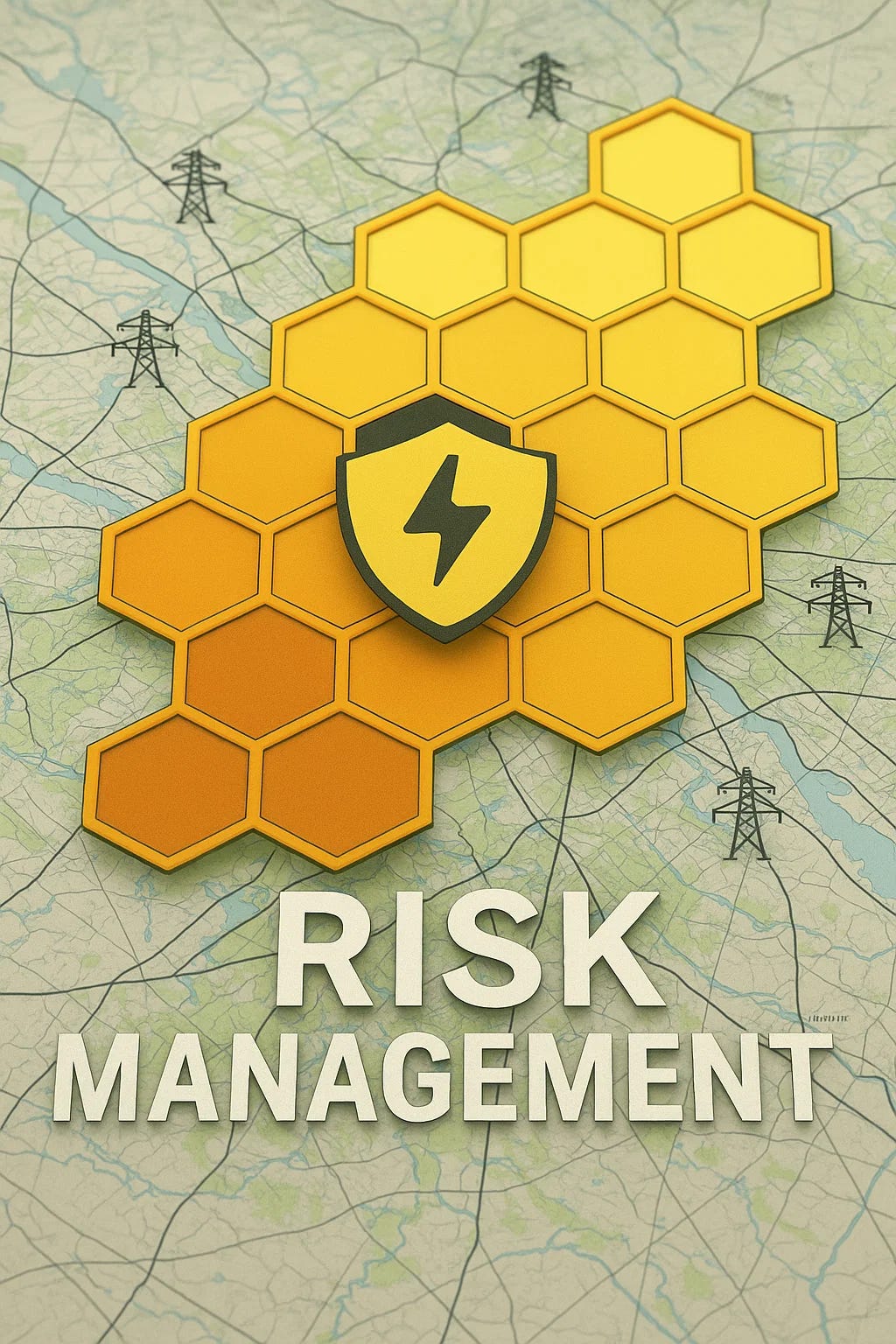
Introduction
Risk modeling has become essential for companies managing extensive infrastructure assets, enabling informed decisions about asset maintenance, management, and resource allocation. Fundamentally, risk models numerically represent potential threats, vulnerabilities, and consequences to determine asset risk levels, guiding companies to prioritize preventive and responsive measures effectively.
Types of Risk Models
There are three primary classifications of risk models:
Qualified Models
These utilize expert judgment, historical performance, and categorical assessments to qualitatively identify and rank potential risks. Although valuable for preliminary screening and rapid assessments, their subjective nature limits precision. However, they offer an effective starting point for companies beginning their risk assessment journey.Quantified Models
These models leverage measurable data, generating numeric risk scores by integrating tangible asset conditions, historical failure rates, and operational data. They provide more precise insights than qualified models, extensively used to prioritize investments and maintenance activities.Probabilistic Models
Incorporating statistical and probabilistic techniques, these sophisticated models account for uncertainty, delivering likelihood-based forecasts of asset failures or adverse events. Probabilistic models leverage advanced analytics, enabling dynamic, highly precise risk assessments responsive to changing conditions.
Understanding Failure and Consequences
At the core of any risk model lies understanding the Probability of Failure (POF) and the Consequence of Failure (COF).
Probability of Failure (POF)
What are the chances an asset will fail? This involves evaluating the current state of the asset (e.g., recent inspections, age, operational lifespan) and historical data from similar assets.Consequence of Failure (COF)
What impact will occur if the asset fails? This assessment examines potential outcomes, including operational disruptions, safety implications, environmental damage, and broader economic impacts.
For example, consider an aged transformer within a power distribution system:
How likely is it to fail given its current condition and age?
If it fails, will critical facilities such as hospitals lose power? Could it ignite a forest fire due to nearby vegetation?
The interaction between POF and COF generates an overall Risk Score:
Environmental Impact on Risk
Traditionally, weather and external threats, such as floods, landslides, and severe storms, have been challenging to quantify, often leading to their underrepresentation in risk models. However, climate change-driven events have increased both the probability and consequences of asset failures, compelling industries to adopt more accurate methods.
GeoAI: Enhancing Risk Models
GeoAI—combining geospatial technology, remote sensing, IoT, and artificial intelligence—is emerging as a critical solution to these challenges. GeoAI enhances risk modeling by integrating extensive spatial data, real-time environmental monitoring, and predictive analytics. It refines POF and COF inputs through:
Continuous monitoring of asset conditions using high-resolution satellite, aerial, drone data, IoT sensors, and physical inspections.
Predictive modeling to forecast environmental changes and associated risks.
Machine learning algorithms detect patterns and anomalies indicative of elevated failure probabilities.
Providing scalable, consistent, and rapid results.
Ultimately, GeoAI-driven probabilistic models yield highly accurate, data-rich risk assessments, enabling companies to proactively mitigate risks, optimize resource allocation, and maintain operational resilience amid an increasingly uncertain climate landscape.